
The Cumberland Plateau in Tennessee
The Cumberland Plateau is the southern part of the Appalachian Plateau in the Appalachian Mountains of the United States. It includes much of eastern Kentucky and Tennessee, and portions of northern Alabama and northwest Georgia.
Click on the map or (here) for an enlarged version with hotspots.
To view a road map of the same area and its current weather, click here.
The Cumberland Plateau cuts across Tennessee roughly midway between Knoxville and Nashville. The southern part is divided by the Sequatchie Valley. The elevation cools the sultry southern summers, but the winters remain mild. It is not very populated, but there is plenty to do. An agreeable area, overall. Of those who come for a visit, many decide to stay permanently.
If you are into whitewater, you may already know about us ( Clear Creek Northwest of Crossville for example). If you fly, you probably recognize Crossville, where Trade-A-Plane is published. But even if you ride, you may be unaware there are stables on the plateau with 100 miles of trails on 12,000 acres. You can definitely get away from it all on the plateau.
Although there are plenty of conventional hotels and motels, there are more interesting places to stay. Try a little old schoolhouse. It's been beautifully remade into lodging.
This is a list of Tennessee counties on or having major areas on the "mountain". These are in order scanning from west to east and south to north: Overton, Pickett, Fentress, Scott, Campbell, Putnam, White, Cumberland, Morgan, Warren, Van Buren, Bledsoe, Grundy, Sequatchie, Franklin, and Marion. Check out the ODP regional directory category Cumberland Plateau and the Cumberland County page for more info on many of these counties.
As far as big towns actually on the mountain, there really aren't any. The larger towns on the mountain are Crossville, to the middle in Cumberland County, and Signal Mountain, near Chattanooga. Others include Jamestown in Fentress County, Oneida in Scott County, and Tracy City in Grundy County. Chattanooga is close, but just off the southeastern-most part of the plateau.
The roads on the edge of the plateau are tortuous. Predictably, the easiest, I-40, also is the least spectacular. Most of the rest have overlooks.
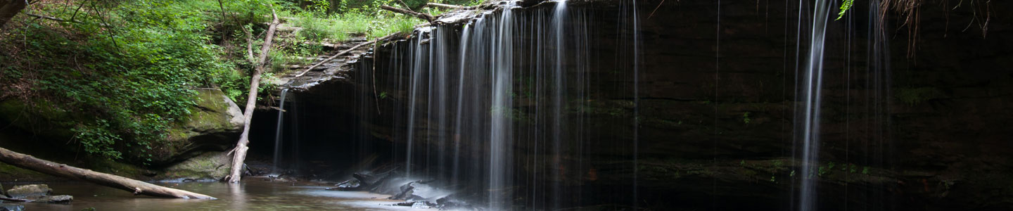
There are four state parks: one of the largest, Fall Creek Falls, between Van Buren and Bledsoe counties, one of the smallest (but it's a jewel) Cumberland Mountain, and one of the skinniest, Cumberland Trail. For more information about Cumberland Trail, click here. To the south is South Cumberland State Park and natural area. There are also national reserves such as Big South Fork National River and Recreation area.
Crossville boasts several resorts. One has 4 golf courses and 11 lakes, and one is clothing optional. (But heck, most of the mountain is clothing optional. I've yet to see a squirrel freak out over someone skinny dipping in the deep woods.) See Cumberland County Recreation to learn more or try these sites: Outdoors, Hunting and Fishing, and Points of Interest.
Click here for more Vacation Ideas and Day Trips in and around Cumberland County.
Click here for more concerning hiking on the edge of the plateau.
Should you visit and find you would like a piece of the mountain for yourself, please visit our land office Plateau Properties. We have over a century of good reputation, and are not a real estate broker.
E-mail us at [email protected]
Call us at 931-484-5535 or 866-490-LAND (5263)